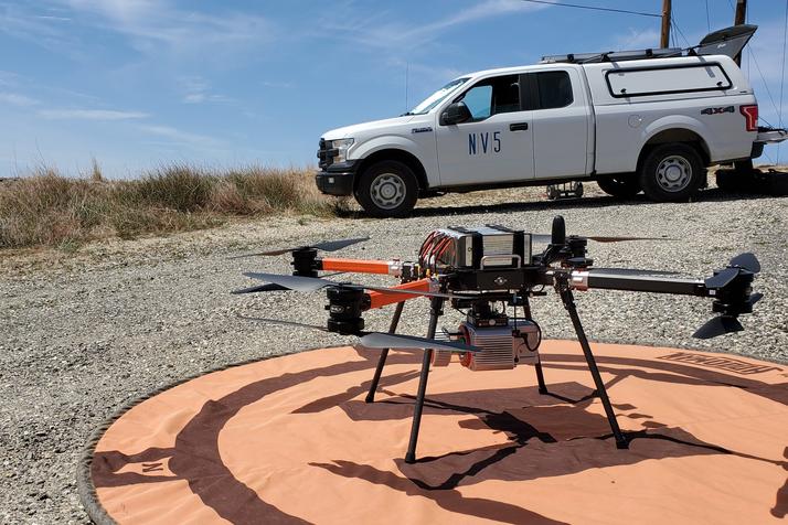
Once just an expensive toy for tech enthusiasts, drones are now being embraced in a variety of sectors to deliver tangible business benefits. For engineers, these unmanned aerial systems (UAS) are becoming tools that drive greater accuracy in data collection, reduce project costs and improve efficiency.
Lukas Fraser is program manager for unmanned systems at NV5 Geospatial
We’ve seen significant growth and innovation in the commercial drone industry over the past decade. In response to the increasing demand for data, my team at NV5 Geospatial has tripled in size in the past three years. Sensor manufacturers in turn create compact lidar scanners, acoustic sensors, as well as thermal, multispectral and hyperspectral cameras, for UAS applications.
Beyond the more obvious application of standard RGB imagery for high-resolution aerial photography, multispectral and hyperspectral cameras enable users to see beyond the visible spectrum. For example, UAS multispectral imagery is often used to determine vegetation and crop health. Thermal infrared (TIR) imagery is a useful tool for detecting structural problems with infrastructure assets such as debonding or delamination within the concrete on bridge decks (pictured below). TIR is also commonly used to identify damage, inefficiencies, leaks or hot spots in buildings, solar fields, electrical utilities, and pipelines. The integration of lidar into our deliverables allows us to create high-accuracy 3D models in all conditions, including highly vegetated areas.
The lidar-for-UAS industry has also taken off recently. There are a number of different scanners to choose from, ranging significantly in both price and performance. Lower-cost scanners have led to a democratization of UAS lidar, but may not be suitable for every application. Project requirements must be taken into consideration when choosing the optimal sensor for your needs. The benefits are impressive. Here are some real-world examples of how engineering clients leveraged UAS technology to improve accuracy, timeline, cost and safety.
In one project, our team collected UAS imagery and lidar for approximately 100 acres of densely populated urban roadways in Imperial Beach, Calif., to support the city’s “Focused Update to the City Drainage Master Plan.” Without the low altitude and slower flight speed of the UAS platform, the level of detail required would not have been achievable. The aerial survey resulted in minimal disturbance to the locals and eliminated the need for field crews working in the streets for several days. The UAS platform also allowed us to fly overprivate properties that are difficult forfield crews to access to collect data. The topographic map was derived from the lidar data and included 3D break lines on curbs, retaining walls and other relevant grade breaks. The planimetric base map was derived from the ortho-rectified image and supplemented with lidar when necessary. The addition of lidar allowed us to detect features and perform ground modelling under vegetation. The result: a comprehensive map that required no additional trips back to the area.
One of the lesser known uses for UAS technologies is in the field of historical preservation. Thanks to the low acquisition cost, high level of detail and quick mobilization time, our team was able to use UAS and terrestrial lidar to create a 3D model of a historic 14-story building on Collins Avenue in Miami Beach, Fla. Originally built in the 1930s, this building had been completely gutted, but the developer wanted to maintain a portion of the original exterior by incorporating it into the design construction of a 5-star hotel. By combining the two technologies, we were able to create a complete and seamless model of the entire building exterior, as well as the interior of the cupola.
Creating detailed maps, drawings and models is necessary for any UAS provider with engineering clients, but it limits the user base. Even with the appropriate software, most users are limited to viewing the final deliverables, and lack the ability to interact with the full datasets in their original forms. Converting all of these datasets into formats that are viewable on the web, and creating user-friendly sites can provide an immense added value to engineering projects. Engineers, project managers and contractors can all collaborate on detailed UAS datasets hosted online. We’ve used this approach when creating a custom web portal for our engineering group. The portal allows users to make measurements on lidar point clouds and images, toggle back and forth between different dates to track progress, and step through street-view style 360-degree panoramic imagery from any device.
It is important to note that just because a dataset looks very detailed, it does not necessarily mean it’s accurate. Not all UAS sensors are the same. Working with experienced geospatial professionals is still key to ensuring high-quality, survey-grade deliverables. Engineers should ensure that UAS providers are working with professional surveyors and following guidelines from governing bodies, such as the American Society for Photogrammetry and Remote Sensing (ASPRS), when stating accuracy.
If you're looking for an innovative way to collect rich datasets for engineering projects that require a high level of detail in a cost-effective, timely manner, UAS platforms are an ideal choice. But it's important to understand this ever-evolving technology and the types of sensors most appropriate for each application. The right combination of remote sensing technologies on a UAS platform offers a great way to create accurate and detailed survey-grade products that can provide a competitive advantage for a new generation of engineers.
*Lukas Fraser is program manager for unmanned systems at NV5 Geospatial
Like what you've read? To receive New Civil Engineer's daily and weekly newsletters click here.